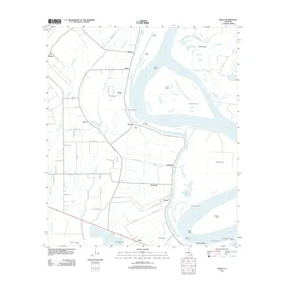
2012 Map of Walls
USGS Topo · Published 2012About this map
The Mississippi River defines the geography of West Baton Rouge Parish, its winding course shaping a landscape of low-lying ridges and agricultural tracts. This 2012 survey captures the alluvial plains between Rougon and Devalls, where historical landings like Kelson Landing and Barroza Landing once served as vital points of contact for the river trade. The interior is a network of bayous and drainage, with Bayou Clause and Stumpy Bayou threading through areas settled by families whose names remain on the land at places like Alfords and the Alford Cem.
Find a feature on this map
70 named features on this map. Tap any name to fly to it.
Don’t see what you’re looking for? This feature index may not catch every label — zoom into the map to look around manually.
Map Details
Editions of this 2012 Walls Map
This is the sole edition of this map. No revisions or reprints were ever made.
Other maps of this area

1906 · Bayou Sara
USGS Topo · 1:125,000

1908 · Baton Rouge
USGS Topo · 1:62,500

1939 · Zachary
USGS Topo · 1:62,500

1939 · Baton Rouge
USGS Topo · 1:62,500

1940 · Grosse Tete
USGS Topo · 1:62,500

1953 · Baton Rouge West
USGS Topo · 1:24,000

1953 · Lobdell
USGS Topo · 1:24,000

1953 · New Roads
USGS Topo · 1:24,000

1954 · Zachary
USGS Topo · 1:24,000

1954 · Port Hudson
USGS Topo · 1:24,000