Loading...
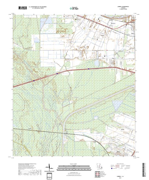
Loading map...2024 Map of Walls
USGS Topo · Published 2024About this map
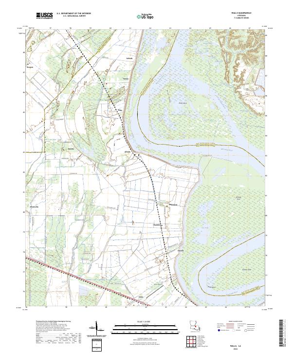
The Mississippi River creates a massive, sweeping curve that defines the landscape of West Baton Rouge Parish, carving out Profit Island and its adjacent Profit Island Chute. This riverine environment is characterized by a complex network of backwater features, including Pecan Valley, Gar Pond, and several small lakes like Horseshoe Lake and Red Lake to the north.
Find a feature on this map
79 named features on this map. Tap any name to fly to it.
Don’t see what you’re looking for? This feature index may not catch every label — zoom into the map to look around manually.
Map Details
Date Portrayed2024
Date Published2024
PublisherU.S. Geological Survey
Map TypeTopographic
Scale1:24000
Physical Dimensions24 x 29 inches
Editions of this 2024 Walls Map
This is the sole edition of this map. No revisions or reprints were ever made.
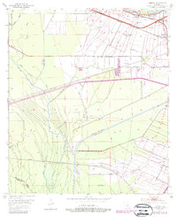
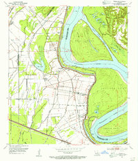
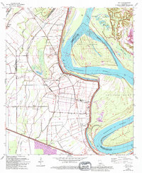
Historical Maps of Allen Landing Through Time
7 maps found
Featured Locations
Source Details
SourceU.S. Geological Survey
CopyrightPublic Domain