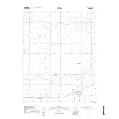
2019 Map of Walsh
USGS Topo · Published 2019About this map
Walsh occupies the southeastern corner of this Baca County landscape, oriented around a grid of streets including Santa Fe St and N Texas St. The town is supported by regional infrastructure like Griffin Field and the Walsh Cemetery, while the rural history of the area is anchored by the Minneapolis Cemetery far to the northeast. The surrounding terrain is defined by a network of seasonal drainages and high points that served as natural landmarks for early travelers and homesteaders.
Find a feature on this map
47 named features on this map. Tap any name to fly to it.
Don’t see what you’re looking for? This feature index may not catch every label — zoom into the map to look around manually.
Map Details
Editions of this 2019 Walsh Map
This is the sole edition of this map. No revisions or reprints were ever made.
Other maps of this area

1891 · Albany
USGS Topo · 1:125,000

1892 · Vilas
USGS Topo · 1:125,000

1893 · Albany
USGS Topo · 1:125,000

1955 · La Junta
USGS Topo · 1:250,000

1958 · La Junta
USGS Topo · 1:250,000

1968 · La Junta
USGS Topo · 1:250,000

1971 · Two Buttes SE
USGS Topo · 1:24,000
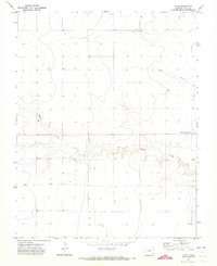
1971 · Lycan
USGS Topo · 1:24,000
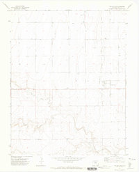
1971 · Two Buttes
USGS Topo · 1:24,000

1978 · Walsh SE
USGS Topo · 1:24,000