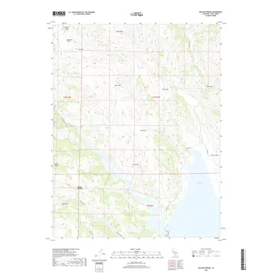
2018 Map of Walter Springs
USGS Topo · Published 2018About this map
Walter Springs serves as the focal point of this 2018 Napa County terrain study, where the intersection of Pope Canyon Rd and Dollarhide Rd marks the valley floor. The landscape is defined by its deep drainages and named depressions, including Mysterious Valley to the northwest—served by the Mysterious Valley Airport—and Spanish Valley to the west. These secluded basins are separated by significant elevations such as Adams Ridge and Turner Mtn.
Find a feature on this map
33 named features on this map. Tap any name to fly to it.
Don’t see what you’re looking for? This feature index may not catch every label — zoom into the map to look around manually.
Map Details
Editions of this 2018 Walter Springs Map
This is the sole edition of this map. No revisions or reprints were ever made.
Other maps of this area

1924 · Capay
USGS Topo · 1:62,500

1942 · St. Helena
USGS Topo · 1:62,500

1943 · Morgan Valley
USGS Topo · 1:62,500

1943 · Capay
USGS Topo · 1:62,500

1944 · Morgan Valley
USGS Topo · 1:62,500

1945 · Capay
USGS Topo · 1:62,500

1945 · Rumsey
USGS Topo · 1:62,500

1945 · St. Helena
USGS Topo · 1:62,500

1947 · Santa Rosa
USGS Topo · 1:250,000

1949 · Santa Rosa
USGS Topo · 1:250,000