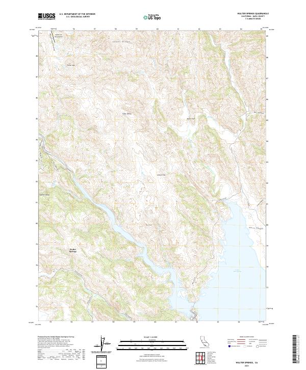
2021 Map of Walter Springs
USGS Topo · Published 2021About this map
Walter Springs and the northern reaches of Lake Berryessa anchor this map of Napa County’s northeastern corner. The landscape is defined by its dramatic relief, where the steep elevation of Turner Mtn and Adams Ridge gives way to isolated level grounds such as Spanish Valley, Cedar Valley, and Gibson Flat. These natural enclosures historically shaped the movement and settlement patterns of the region, as evidenced by the remote Mysterious Valley Airport tucked into Mysterious Valley in the northwest. Water drainage is essential to the local geography, with Adams Cr, Nevada Cr, and Eticuera Cr all flowing toward the reservoir’s edge. Rural access is maintained via Pope Canyon Rd and Knoxville Rd, which follow the winding contours of the valleys and ridgelines to connect these upland communities.
Find a feature on this map
34 named features on this map. Tap any name to fly to it.
Don’t see what you’re looking for? This feature index may not catch every label — zoom into the map to look around manually.
Map Details
Editions of this 2021 Walter Springs Map
This is the sole edition of this map. No revisions or reprints were ever made.
Other maps of this area

1924 · Capay
USGS Topo · 1:62,500

1942 · St. Helena
USGS Topo · 1:62,500

1943 · Morgan Valley
USGS Topo · 1:62,500

1943 · Capay
USGS Topo · 1:62,500

1944 · Morgan Valley
USGS Topo · 1:62,500

1945 · Capay
USGS Topo · 1:62,500

1945 · Rumsey
USGS Topo · 1:62,500

1945 · St. Helena
USGS Topo · 1:62,500

1947 · Santa Rosa
USGS Topo · 1:250,000

1949 · Santa Rosa
USGS Topo · 1:250,000