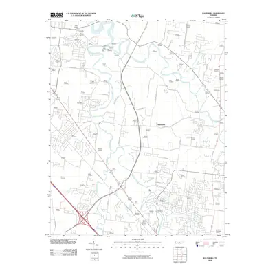
2010 Map of Walterhill
USGS Topo · Published 2010About this map
The confluence of the West Fork Stones River and East Fork Stones River shapes this landscape north of Murfreesboro, where the main stem of the Stones River continues its winding path. This area is exceptionally rich in family burial grounds, reflecting generations of rural settlement and land ownership. Notable sites include the Old Jefferson Cemetery and the Sam Davis Cemetery, alongside numerous family-named plots like the Malone-Henderson Cemetery and Robinson-McMillian Cemetery that dot the countryside between the river forks.
Find a feature on this map
106 named features on this map. Tap any name to fly to it.
Don’t see what you’re looking for? This feature index may not catch every label — zoom into the map to look around manually.
Map Details
Editions of this 2010 Walterhill Map
This is the sole edition of this map. No revisions or reprints were ever made.
Other maps of this area

1903 · Nashville
USGS Topo · 1:125,000

1916 · Murfreesboro
USGS Topo · 1:62,500

1932 · Hermitage
USGS Topo · 1:62,500

1942 · Lebanon
USGS Topo · 1:100,000

1950 · Walterhill
USGS Topo · 1:24,000

1950 · Murfreesboro
USGS Topo · 1:24,000

1952 · La Vergne
USGS Topo · 1:24,000

1956 · Vine
USGS Topo · 1:24,000

1956 · Dillton
USGS Topo · 1:24,000

1956 · Gladeville
USGS Topo · 1:24,000