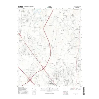
2016 Map of Walterhill
USGS Topo · Published 2016About this map
The Stones River National Battlefield anchors the southwestern portion of this map, preserving a landscape defined by its strategic position along the West Fork Stones River. This area near Murfreesboro is remarkably dense with family-named burial grounds, including the McFadden Cem, Neal-Wade Cem, and Holloway Cem, reflecting the deep ancestral roots of Rutherford County. To the north, the terrain transitions into the residential and industrial growth of Smyrna and the rural communities of Mona and Leanna. The convergence of the East Fork Stones River and West Fork Stones River shapes the geography, creating a network of limestone-bottomed waterways and fertile bottomlands that historically supported settlements like Walterhill and Florence. Transportation is a dominant theme, with the modern infrastructure of Smyrna contrasting against the older ferry and ford sites indicated by river crossings and the proximity of the Murfreesboro Municipal Airport.
Find a feature on this map
297 named features on this map. Tap any name to fly to it.
Don’t see what you’re looking for? This feature index may not catch every label — zoom into the map to look around manually.
Map Details
Editions of this 2016 Walterhill Map
This is the sole edition of this map. No revisions or reprints were ever made.
Other maps of this area

1903 · Nashville
USGS Topo · 1:125,000

1916 · Murfreesboro
USGS Topo · 1:62,500

1932 · Hermitage
USGS Topo · 1:62,500

1942 · Lebanon
USGS Topo · 1:100,000

1950 · Walterhill
USGS Topo · 1:24,000

1950 · Murfreesboro
USGS Topo · 1:24,000

1952 · La Vergne
USGS Topo · 1:24,000

1956 · Vine
USGS Topo · 1:24,000

1956 · Dillton
USGS Topo · 1:24,000

1956 · Gladeville
USGS Topo · 1:24,000