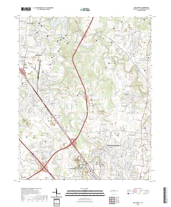
2022 Map of Walterhill
USGS Topo · Published 2022About this map
Stones River National Battlefield occupies a significant portion of this landscape, marking the grounds of a pivotal Civil War conflict. Adjacent to the battlefield lies the Stones River National Cem, a focal point for genealogical research and military history. The terrain is defined by the winding paths of the Stones River, including its West Fork and East Fork, which carve through a mix of suburban expansion and agricultural pockets.
Find a feature on this map
318 named features on this map. Tap any name to fly to it.
Don’t see what you’re looking for? This feature index may not catch every label — zoom into the map to look around manually.
Map Details
Editions of this 2022 Walterhill Map
This is the sole edition of this map. No revisions or reprints were ever made.
Other maps of this area

1903 · Nashville
USGS Topo · 1:125,000

1916 · Murfreesboro
USGS Topo · 1:62,500

1932 · Hermitage
USGS Topo · 1:62,500

1942 · Lebanon
USGS Topo · 1:100,000

1950 · Walterhill
USGS Topo · 1:24,000

1950 · Murfreesboro
USGS Topo · 1:24,000

1952 · La Vergne
USGS Topo · 1:24,000

1956 · Vine
USGS Topo · 1:24,000

1956 · Dillton
USGS Topo · 1:24,000

1956 · Gladeville
USGS Topo · 1:24,000