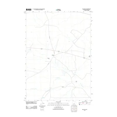
2012 Map of Waltman
USGS Topo · Published 2012About this map
Waltman sits as a central junction point in this high-plains landscape of Natrona County, where Gas Hills Rd and Arminto Rd converge. The area is defined by a complex network of ephemeral drainages and vital water sources that sustained ranching operations in a dry environment. The S Fork Powder River winds through the southern portion of the map, fed by numerous seasonal coulees including Waltman Draw, Keg Spring Draw, and Sand Draw. Private landholdings like the Springsteen Ranch are positioned near these watercourses, illustrating the traditional pattern of settlement tied to the available hydrology. Topographic features such as Waltman Spring and Keg Spring provided reliable landmarks for travelers and livestock alike in this section of central Wyoming.
Find a feature on this map
14 named features on this map. Tap any name to fly to it.
Don’t see what you’re looking for? This feature index may not catch every label — zoom into the map to look around manually.
Map Details
Editions of this 2012 Waltman Map
This is the sole edition of this map. No revisions or reprints were ever made.
Other maps of this area

1952 · Arminto
USGS Topo · 1:24,000

1952 · Waltman NW
USGS Topo · 1:24,000

1952 · Waltman
USGS Topo · 1:24,000

1952 · Hiland
USGS Topo · 1:24,000

1955 · Arminto
USGS Topo · 1:250,000

1955 · Casper
USGS Topo · 1:250,000

1958 · Casper
USGS Topo · 1:250,000

1958 · Arminto
USGS Topo · 1:250,000

1959 · Gaylord Reservoir
USGS Topo · 1:24,000

1959 · Broad Mesa
USGS Topo · 1:24,000