
1923 Map of Walton
USGS Topo · Published 1923About this map
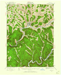
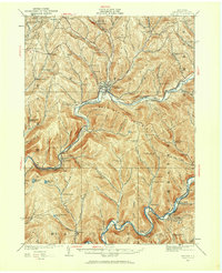
The Delaware River serves as the central artery for this portion of Delaware County, dictating the placement of early 20th-century settlements and transport lines. Following the river's winding course, the New York Ontario and Western RR connects communities like Walton, Beerston, and Rock Rift. The landscape is defined by its deep valleys and numerous watercourses, including West Brook and East Brook, which converge near the regional hub of Walton.
Find a feature on this map
70 named features on this map. Tap any name to fly to it.
Don’t see what you’re looking for? This feature index may not catch every label — zoom into the map to look around manually.
Map Details
Editions of this 1923 Walton Map
Other maps of this area

1909 · Delhi
USGS Topo · 1:62,500

1911 · Delhi
USGS Topo · 1:62,500

1915 · Oneonta
USGS Topo · 1:62,500

1915 · Unadilla
USGS Topo · 1:62,500

1918 · Unadilla
USGS Topo · 1:62,500

1918 · Oneonta
USGS Topo · 1:62,500

1920 · Long Eddy
USGS Topo · 1:62,500

1921 · Long Eddy
USGS Topo · 1:48,000

1921 · Livingston Manor
USGS Topo · 1:62,500

1922 · Andes
USGS Topo · 1:62,500