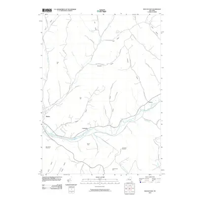
2010 Map of Walton East
USGS Topo · Published 2010About this map
The West Branch Delaware River carves a deep valley through this portion of Delaware County, defining the local geography as it flows past the village of Walton and the hamlet of Colchester. The terrain is characterized by a dense network of hollows named after early families and local landmarks, including Chambers Hollow, Oxbow Hollow, and Telford Hollow. These drainages lead into larger watercourses such as Beers Brook and Mallory Brook, which have long influenced the siting of roads and homes in this highland region.
Find a feature on this map
59 named features on this map. Tap any name to fly to it.
Don’t see what you’re looking for? This feature index may not catch every label — zoom into the map to look around manually.
Map Details
Editions of this 2010 Walton East Map
This is the sole edition of this map. No revisions or reprints were ever made.
Other maps of this area

1909 · Delhi
USGS Topo · 1:62,500

1911 · Delhi
USGS Topo · 1:62,500

1915 · Oneonta
USGS Topo · 1:62,500

1918 · Oneonta
USGS Topo · 1:62,500

1922 · Andes
USGS Topo · 1:62,500

1923 · Walton
USGS Topo · 1:48,000

1924 · Andes
USGS Topo · 1:62,500

1925 · Walton
USGS Topo · 1:62,500

1943 · Delhi
USGS Topo · 1:24,000

1943 · Franklin
USGS Topo · 1:24,000