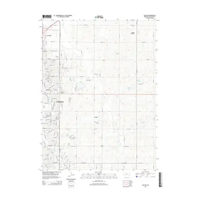
2014 Map of Walton
USGS Topo · Published 2014About this map
The eastern reaches of Lincoln define the western edge of this landscape, where established neighborhoods like Havelock and Bethany meet the open agricultural lands of Lancaster County. The terrain is shaped by the meandering course of Stevens Cr, which flows northward through the center of the sheet, and smaller tributaries like Antelope Cr and Deadmans Run. Local aviation history is represented by Pester Airport, while the educational footprint of the Southeast Community Coll Area anchors the transition between urban and rural zones.
Find a feature on this map
56 named features on this map. Tap any name to fly to it.
Don’t see what you’re looking for? This feature index may not catch every label — zoom into the map to look around manually.
Map Details
Editions of this 2014 Walton Map
This is the sole edition of this map. No revisions or reprints were ever made.
Other maps of this area

1897 · Lincoln
USGS Topo · 1:125,000

1903 · Weeping Water
USGS Topo · 1:125,000

1929 · Weeping Water
USGS Topo · 1:125,000

1955 · Lincoln
USGS Topo · 1:250,000

1957 · Lincoln
USGS Topo · 1:250,000

1958 · Lincoln
USGS Topo · 1:250,000

1964 · Waverly
USGS Topo · 1:24,000

1964 · Roca
USGS Topo · 1:24,000

1964 · Davey
USGS Topo · 1:24,000

1964 · Walton
USGS Topo · 1:24,000