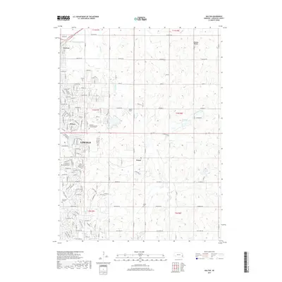
2017 Map of Walton
USGS Topo · Published 2017About this map
The eastern edges of Lincoln meet the rural expanses of Lancaster County in this 2017 survey, revealing the city's residential sprawl toward the unincorporated community of Walton. This area is defined by the transition from dense street grids near Bethany and Havelock to the open topography shaped by Stevens Cr and Deadmans Run. Local landmarks like the Southeast Community College Lincoln Campus and Pester Airport anchor the landscape, while family and community history is preserved at Fairview Cem and Schultz Cem. In the north, the small settlement of Prairie Home sits amidst a network of section roads such as Havelock Ave and Fletcher Ave. Several water bodies, including Wedgewood Lake and the Monahan Reservoir, provide focal points for suburban development and rural drainage within this shifting corridor of Nebraska's capital region.
Find a feature on this map
57 named features on this map. Tap any name to fly to it.
Don’t see what you’re looking for? This feature index may not catch every label — zoom into the map to look around manually.
Map Details
Editions of this 2017 Walton Map
This is the sole edition of this map. No revisions or reprints were ever made.
Other maps of this area

1897 · Lincoln
USGS Topo · 1:125,000

1903 · Weeping Water
USGS Topo · 1:125,000

1929 · Weeping Water
USGS Topo · 1:125,000

1955 · Lincoln
USGS Topo · 1:250,000

1957 · Lincoln
USGS Topo · 1:250,000

1958 · Lincoln
USGS Topo · 1:250,000

1964 · Waverly
USGS Topo · 1:24,000

1964 · Roca
USGS Topo · 1:24,000

1964 · Davey
USGS Topo · 1:24,000

1964 · Walton
USGS Topo · 1:24,000