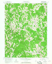
1957 Map of Walton
USGS Topo · Published 1967About this map
The Pocatalico River winds through the southern reaches of this mid-century landscape, anchoring a rural network of small communities and family-named landmarks. The map records the intersection of hill-country agriculture and the extractive industry, with numerous oil and gas wells scattered across the ridges. Established settlements like Gandeeville and Countsville serve as local hubs, while educational and spiritual life is centered at institutions such as Walton High Sch, Zona Sch, and Mt Lebanon Ch. For those researching local lineages, the map is remarkably detailed, locating several family burial grounds including Gandee Cem, Looney Cem, and Droddy Cem. The winding paths of Elk Fork and Flat Fork define the movement of early roads, showing how the topography dictated the growth of small settlements like Harmony and Ryan.
Find a feature on this map
87 named features on this map. Tap any name to fly to it.
Don’t see what you’re looking for? This feature index may not catch every label — zoom into the map to look around manually.
Map Details
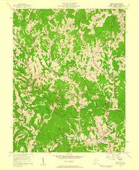
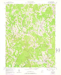
Editions of this 1957 Walton Map
3 editions found
Other maps of this area

1906 · Kenna
USGS Topo · 1:62,500

1906 · Walton
USGS Topo · 1:62,500

1907 · Kenna
USGS Topo · 1:62,500

1907 · Spencer
USGS Topo · 1:62,500

1907 · Walton
USGS Topo · 1:62,500

1907 · Ripley
USGS Topo · 1:62,500

1926 · Ripley
USGS Topo · 1:62,500

1928 · Spencer
USGS Topo · 1:62,500

1928 · Ripley
USGS Topo · 1:62,500

1954 · Charleston
USGS Topo · 1:250,000