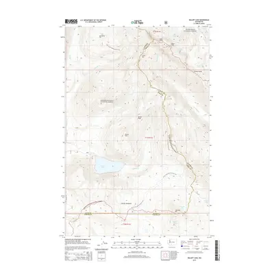
2014 Map of Walupt Lake
USGS Topo · Published 2014About this map
Walupt Lake and the high glaciated reaches of the Cascade Range define this landscape along the boundary of Lewis and Yakima counties. This high-altitude region is anchored by the Goat Rocks and the towering Gilbert Peak, which feeds the Conrad Glacier and Meade Glacier. The map documents the wilderness character of the Snoqualmie and Gifford Pinchot national forests, where the Pacific Crest National Scenic Trail winds through alpine environments.
Find a feature on this map
30 named features on this map. Tap any name to fly to it.
Don’t see what you’re looking for? This feature index may not catch every label — zoom into the map to look around manually.
Map Details
Editions of this 2014 Walupt Lake Map
This is the sole edition of this map. No revisions or reprints were ever made.
Other maps of this area

1902 · Mount Aix
USGS Topo · 1:125,000

1904 · Mt Aix
USGS Topo · 1:125,000

1904 · Mount Adams
USGS Topo · 1:125,000

1907 · Mount Adams
USGS Topo · 1:125,000

1924 · Mt Rainier
USGS Topo · 1:96,000

1926 · Steamboat Mtn
USGS Topo · 1:125,000

1928 · Mt Rainier
USGS Topo · 1:125,000

1931 · Steamboat Mtn
USGS Topo · 1:125,000

1950 · Yakima
USGS Topo · 1:250,000

1958 · Yakima
USGS Topo · 1:250,000