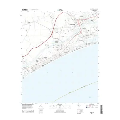
2014 Map of Wampee
USGS Topo · Published 2014About this map
North Myrtle Beach and its surrounding coastal communities are captured here in a period of significant development, illustrating the density of neighborhood growth between the Intracoastal Waterway and the Atlantic Ocean. The landscape is defined by its relation to the water, ranging from the maritime activity at Coquina Harbor to the shoreline stretches of Ocean Drive Beach and Crescent Beach. Further inland, the inland village of Wampee and the junction at Nixons Crossroads represent the older rural framework of Horry County. Family history researchers will find several significant burial grounds, including Forest Lawn Cem and the Southeastern Memorial Gardens, alongside the Grand Strand Airport which anchors the local transportation network. The northeast corner is dominated by the historic Little River area and Little River Neck, where the marshlands of House Creek meet the sea.
Find a feature on this map
133 named features on this map. Tap any name to fly to it.
Don’t see what you’re looking for? This feature index may not catch every label — zoom into the map to look around manually.
Map Details
Editions of this 2014 Wampee Map
This is the sole edition of this map. No revisions or reprints were ever made.
Other maps of this area

1937 · Myrtle Beach
USGS Topo · 1:48,000

1937 · Nixonville
USGS Topo · 1:48,000

1940 · Myrtle Beach
USGS Topo · 1:62,500

1942 · Nixonville
USGS Topo · 1:62,500

1943 · Little River
USGS Topo · 1:31,680

1943 · Calabash
USGS Topo · 1:31,680

1943 · Wampee
USGS Topo · 1:24,000

1944 · Longs
USGS Topo · 1:31,680

1949 · Georgetown
USGS Topo · 1:250,000
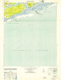
1953 · Little River
USGS Topo · 1:24,000