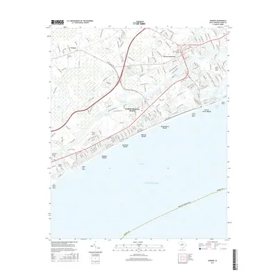
2017 Map of Wampee
USGS Topo · Published 2017About this map
North Myrtle Beach and its string of coastal communities dominate this 2017 shoreline survey, where modern development meets the historic marshes of Horry County. The map details the transition from the sandy reaches of Long Bay to the inland wetlands of Prices Swamp and Little River Swamp. The geography is defined by the Intracoastal Waterway, which cuts a straight path behind the oceanfront settlements of Ocean Drive Beach, Crescent Beach, and Atlantic Beach.
Find a feature on this map
189 named features on this map. Tap any name to fly to it.
Don’t see what you’re looking for? This feature index may not catch every label — zoom into the map to look around manually.
Map Details
Editions of this 2017 Wampee Map
This is the sole edition of this map. No revisions or reprints were ever made.
Other maps of this area

1937 · Myrtle Beach
USGS Topo · 1:48,000

1937 · Nixonville
USGS Topo · 1:48,000

1940 · Myrtle Beach
USGS Topo · 1:62,500

1942 · Nixonville
USGS Topo · 1:62,500

1943 · Little River
USGS Topo · 1:31,680

1943 · Calabash
USGS Topo · 1:31,680

1943 · Wampee
USGS Topo · 1:24,000

1944 · Longs
USGS Topo · 1:31,680

1949 · Georgetown
USGS Topo · 1:250,000
1953 · Little River
USGS Topo · 1:24,000