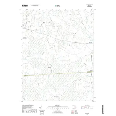
2019 Map of Wango
USGS Topo · Published 2019About this map
The low-lying wetlands of Maryland’s Eastern Shore define this landscape along the border of Wicomico and Worcester counties. Nassawango Cr and its many tributaries, including Waste Gate Cr and Beaverdam Cr, create a complex network of drainage across the territory. Small settlements such as Wango and Beech Island are reached by long, straight roads like Sixty Foot Rd, which cut through the pervasive marshy terrain.
Find a feature on this map
82 named features on this map. Tap any name to fly to it.
Don’t see what you’re looking for? This feature index may not catch every label — zoom into the map to look around manually.
Map Details
Editions of this 2019 Wango Map
This is the sole edition of this map. No revisions or reprints were ever made.
Other maps of this area

1901 · Snow Hill
USGS Topo · 1:62,500

1901 · Salisbury
USGS Topo · 1:62,500

1902 · Pittsville
USGS Topo · 1:62,500

1942 · Ninepin
USGS Topo · 1:24,000

1942 · Snow Hill
USGS Topo · 1:24,000

1942 · Wango
USGS Topo · 1:24,000

1942 · Wesley
USGS Topo · 1:24,000

1942 · Whaleysville
USGS Topo · 1:24,000

1942 · Dividing Creek
USGS Topo · 1:24,000

1942 · Salisbury
USGS Topo · 1:24,000