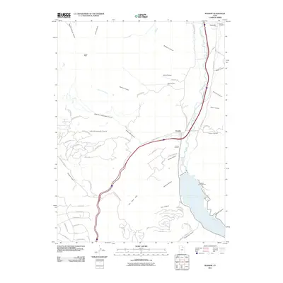
2011 Map of Wanship
USGS Topo · Published 2011About this map
The Weber River corridor serves as the primary artery of this Summit County landscape, where the settlements of Hoytsville and Wanship have long anchored the local community. By 2011, the infrastructure of the Wanship Dam and the resulting waters of Rockport Lake dominate the southern portion of the map, supporting recreation at the Rockport Campground. The geography is defined by a series of deep drainages including Alexander Canyon and Bradbury Canyon that cut through The West Hills toward the river valley.
Find a feature on this map
76 named features on this map. Tap any name to fly to it.
Don’t see what you’re looking for? This feature index may not catch every label — zoom into the map to look around manually.
Map Details
Editions of this 2011 Wanship Map
This is the sole edition of this map. No revisions or reprints were ever made.
Other maps of this area

1885 · Salt Lake
USGS Topo · 1:250,000

1900 · Coalville
USGS Topo · 1:125,000

1903 · Coalville
USGS Topo · 1:125,000

1925 · Ft. Douglas
USGS Topo · 1:125,000

1928 · Ft. Douglas
USGS Topo · 1:125,000

1954 · Salt Lake City
USGS Topo · 1:250,000

1955 · Park City East
USGS Topo · 1:24,000

1955 · Park City West
USGS Topo · 1:24,000

1958 · Salt Lake City
USGS Topo · 1:250,000

1960 · Salt Lake City
USGS Topo · 1:250,000