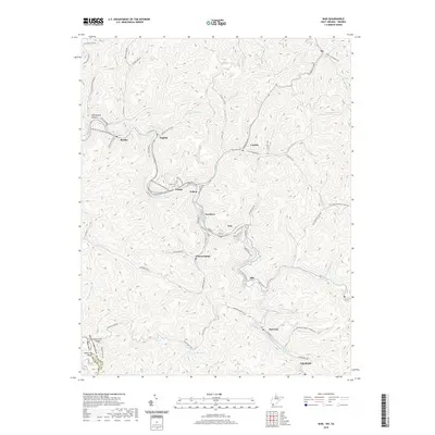
2019 Map of War
USGS Topo · Published 2019About this map
War and the industrial settlements of McDowell County occupy the narrow valleys of the Dry Fork and Jacobs Fork river systems. This landscape reflects the density of coal mining heritage, with communities such as Bartley, Caretta, and Warriormine established along the winding waterways and mountain hollows. The terrain is marked by steep ridges including State Line Ridge, which defines the border between West Virginia and Virginia. In the southern portion of the area, Lake Berwind provides a significant water feature near the settlement of Berwind, while genealogical interest is anchored by local markers like the Lomax Cem. Transportation networks, like Tennessee Ave and the Berwind Mountain Rd, follow the natural contours of the land, connecting the various hollows and ridge-top features like Williams Hill to the central hub at War.
Find a feature on this map
80 named features on this map. Tap any name to fly to it.
Don’t see what you’re looking for? This feature index may not catch every label — zoom into the map to look around manually.
Map Details
Editions of this 2019 War Map
This is the sole edition of this map. No revisions or reprints were ever made.
Other maps of this area

1891 · Tazewell
USGS Topo · 1:125,000

1895 · Tazewell
USGS Topo · 1:125,000

1897 · Tazewell
USGS Topo · 1:125,000

1910 · Iaeger
USGS Topo · 1:48,000

1912 · Pounding Mill
USGS Topo · 1:62,500

1912 · Iaeger
USGS Topo · 1:62,500

1912 · Welch
USGS Topo · 1:62,500

1914 · Iaeger
USGS Topo · 1:48,000

1915 · Richlands
USGS Topo · 1:48,000

1916 · Pounding Mill
USGS Topo · 1:62,500