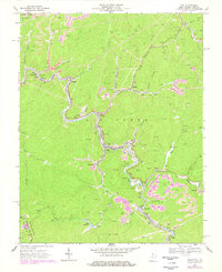
1967 Map of War
USGS Topo · Published 1978About this map
McDowell County's coal-country landscape is defined here by the winding course of the Dry Fork and the extensive industrial infrastructure of the late 1960s. The Norfolk and Western railway threads through steep-sided valleys, connecting a sequence of company towns and mining settlements including War, Berwind, and Bartley. Evidence of the region's extraction economy is visible in the numerous labels for strip mines, mine tipples, and mine dumps that dot the ridges and hollows. Beyond the industrial zones, local life is anchored by landmarks like Mt Airy Ch and Union Ch, while recreational areas like Lake Berwind provide a contrast to the dense network of gas wells and air shafts. The map also records the precise political boundary at State Line Ridge, where West Virginia meets Virginia.
Find a feature on this map
52 named features on this map. Tap any name to fly to it.
Don’t see what you’re looking for? This feature index may not catch every label — zoom into the map to look around manually.
Map Details
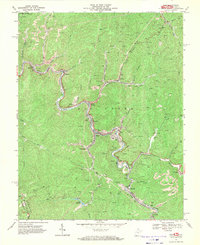
Editions of this 1967 War Map
2 editions found
Other maps of this area

1891 · Tazewell
USGS Topo · 1:125,000

1895 · Tazewell
USGS Topo · 1:125,000

1897 · Tazewell
USGS Topo · 1:125,000

1910 · Iaeger
USGS Topo · 1:48,000

1912 · Pounding Mill
USGS Topo · 1:62,500

1912 · Iaeger
USGS Topo · 1:62,500

1912 · Welch
USGS Topo · 1:62,500

1914 · Iaeger
USGS Topo · 1:48,000

1915 · Richlands
USGS Topo · 1:48,000

1916 · Pounding Mill
USGS Topo · 1:62,500