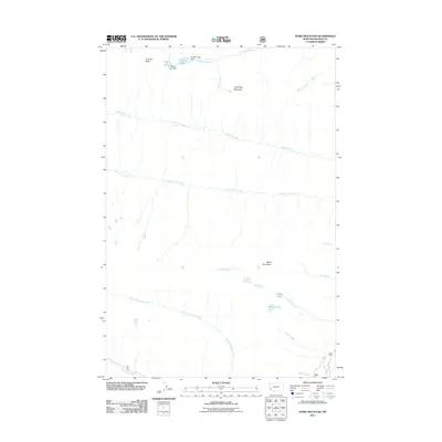
2011 Map of Ward Mountain
USGS Topo · Published 2011About this map
Ward Mountain and Canyon Peak define the high-elevation terrain of this Bitterroot Range landscape in Ravalli County. The area is characterized by a complex network of alpine drainage systems, where Canyon Creek flows from Canyon Lake, passing over Canyon Falls and an unnamed Waterfall. Engineering in this wilderness environment is evidenced by the Canyon Lake Dam and the Wyant Lake Dam at Wyant Lake, which manage the water flow from these high basins. To the south, Camas Creek emerges from Camas Lake near Kidney Lake, while the lower portion of the sheet is dominated by the course of North Lost Horse Creek and Moose Creek. The drainage patterns, including Roaring Lion Creek and Sawtooth Creek, reveal a deeply dissected landscape shaped by water and ice, providing a detailed look at the hydrological connections between the peaks and the valley floor.
Find a feature on this map
22 named features on this map. Tap any name to fly to it.
Don’t see what you’re looking for? This feature index may not catch every label — zoom into the map to look around manually.
Map Details
Editions of this 2011 Ward Mountain Map
This is the sole edition of this map. No revisions or reprints were ever made.
Other maps of this area

1901 · Hamilton
USGS Topo · 1:125,000

1956 · Hamilton
USGS Topo · 1:250,000

1959 · Hamilton
USGS Topo · 1:250,000

1960 · Hamilton
USGS Topo · 1:250,000

1964 · Hamilton
USGS Topo · 1:250,000

1964 · Hamilton South
USGS Topo · 1:24,000

1964 · Tenmile Lake
USGS Topo · 1:24,000

1964 · Darby
USGS Topo · 1:24,000

1964 · Ward Mountain
USGS Topo · 1:24,000
1964 · El Capitan
USGS Topo · 1:24,000