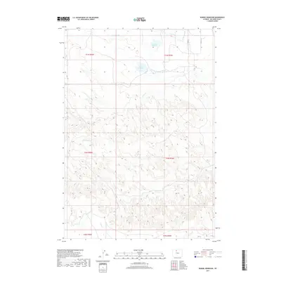
2017 Map of Wardel Reservoir
USGS Topo · Published 2017About this map
Wardel Reservoir and Sandstone Reservoir sit at the center of a complex irrigation network in this Big Horn County landscape. The distribution of water is managed through engineered features such as the Fairview Canal, Grout Ditch, and Sandstone Ditch, which redirect flow across the high plains. These systems support the local agricultural economy, contrasting with the natural drainage patterns of Dorsey Cr and Elk Cr that carve through the terrain to the south.
Find a feature on this map
19 named features on this map. Tap any name to fly to it.
Don’t see what you’re looking for? This feature index may not catch every label — zoom into the map to look around manually.
Map Details
Editions of this 2017 Wardel Reservoir Map
This is the sole edition of this map. No revisions or reprints were ever made.
Other maps of this area

1951 · Burlington
USGS Topo · 1:24,000

1951 · Sucker Dam
USGS Topo · 1:24,000

1951 · Schuster Flats NW
USGS Topo · 1:24,000

1951 · Sheep Mountain
USGS Topo · 1:24,000

1951 · Wardel Reservoir
USGS Topo · 1:24,000

1951 · Otto
USGS Topo · 1:24,000

1951 · Dutch Nick Flat NW
USGS Topo · 1:24,000

1955 · Cody
USGS Topo · 1:250,000

1958 · Cody
USGS Topo · 1:250,000

1962 · Cody
USGS Topo · 1:250,000