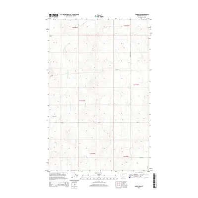
2014 Map of Wards Dam
USGS Topo · Published 2014About this map
W Fork Porcupine Cr carves a winding path through the heart of this Valley County landscape, illustrating the drainage patterns typical of the Montana plains. The terrain is defined by the broad expanse of Kansas Flats, where the relief is subtle and the land is surveyed into the rigid squares of the Public Land Survey System. Human presence is marked by a network of rural routes such as Golden Valley Rd, Honrud Rd, and Kerr Rd, which follow section lines across the prairie. The most distinct landmark is Wards Dam, an essential water-management feature for the local ranching and agricultural economy. This 2014 survey serves as a detailed record of land use and water features in the Frazer District, documenting the quiet infrastructure of these high-plains townships.
Find a feature on this map
15 named features on this map. Tap any name to fly to it.
Don’t see what you’re looking for? This feature index may not catch every label — zoom into the map to look around manually.
Map Details
Editions of this 2014 Wards Dam Map
This is the sole edition of this map. No revisions or reprints were ever made.
Other maps of this area

1919 · Boundary
USGS Topo · 1:125,000

1954 · Glasgow
USGS Topo · 1:250,000

1957 · Glasgow
USGS Topo · 1:250,000

1958 · Glasgow
USGS Topo · 1:250,000

1973 · Baylor
USGS Topo · 1:24,000

1973 · Opheim
USGS Topo · 1:24,000

1973 · Cameron Point
USGS Topo · 1:24,000

1984 · O'Juel Lake
USGS Topo · 1:24,000

1984 · Opheim
USGS Topo · 1:100,000

1984 · Dodge Reservoir
USGS Topo · 1:24,000