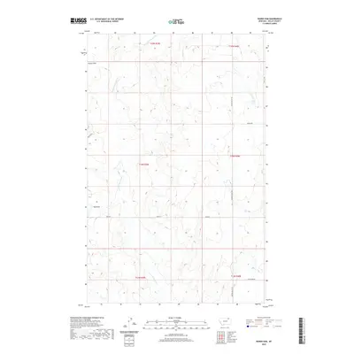
2020 Map of Wards Dam
USGS Topo · Published 2020About this map
Kansas Flats defines the upper portion of this Valley County landscape, where the high plains of the Frazer District transition into the drainages of the W Fork Porcupine Cr. The terrain is marked by the eponymous Wards Dam, a central landmark in this ranching country. Local transportation is grounded in a network of section-line roads, including Golden Valley Rd, Kerr Rd, and Britsch Rd, which trace the Public Land Survey System boundaries established by the t34n r39e and adjacent townships. This 2020 edition provides a clear view of the modern land management and rural infrastructure in this part of Montana, documenting the persistent names and paths of the northern plains.
Find a feature on this map
14 named features on this map. Tap any name to fly to it.
Don’t see what you’re looking for? This feature index may not catch every label — zoom into the map to look around manually.
Map Details
Editions of this 2020 Wards Dam Map
This is the sole edition of this map. No revisions or reprints were ever made.
Other maps of this area

1919 · Boundary
USGS Topo · 1:125,000

1954 · Glasgow
USGS Topo · 1:250,000

1957 · Glasgow
USGS Topo · 1:250,000

1958 · Glasgow
USGS Topo · 1:250,000

1973 · Baylor
USGS Topo · 1:24,000

1973 · Opheim
USGS Topo · 1:24,000

1973 · Cameron Point
USGS Topo · 1:24,000

1984 · O'Juel Lake
USGS Topo · 1:24,000

1984 · Opheim
USGS Topo · 1:100,000

1984 · Dodge Reservoir
USGS Topo · 1:24,000