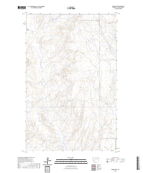
2024 Map of Wards Dam
USGS Topo · Published 2024About this map
West Fork Porcupine Creek meanders through this portion of Valley County, carving a drainage pattern across a high plains landscape defined by the Kansas Flats. The geography is characteristic of northeastern Montana's open rangeland, where watercourses dictate the historical movement of livestock and early travelers. The road network, including Golden Valley Rd and Ruffcorn Rd, follows the section lines of the Public Land Survey System, which is clearly demarcated by township and range boundaries such as t34n r39e. These family-named roads and drainage features highlight the isolated nature of the terrain, providing a look at the sparse settlement patterns that persist into the 21st century.
Find a feature on this map
12 named features on this map. Tap any name to fly to it.
Don’t see what you’re looking for? This feature index may not catch every label — zoom into the map to look around manually.
Map Details
Editions of this 2024 Wards Dam Map
This is the sole edition of this map. No revisions or reprints were ever made.
Other maps of this area

1919 · Boundary
USGS Topo · 1:125,000

1954 · Glasgow
USGS Topo · 1:250,000

1957 · Glasgow
USGS Topo · 1:250,000

1958 · Glasgow
USGS Topo · 1:250,000

1973 · Baylor
USGS Topo · 1:24,000

1973 · Opheim
USGS Topo · 1:24,000

1973 · Cameron Point
USGS Topo · 1:24,000

1984 · O'Juel Lake
USGS Topo · 1:24,000

1984 · Opheim
USGS Topo · 1:100,000

1984 · Dodge Reservoir
USGS Topo · 1:24,000