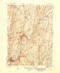
1946 Map of Ware
USGS Topo · Published 1946About this map
Ware River carves a deep industrial and transport corridor through this central Massachusetts landscape as mapped by the Geological Survey in the mid-1940s. The valley floor is tightly packed with manufacturing centers like Wheelwright, Furnace, and Gilbertville, where the Boston and Maine and Boston and Albany railroads converge to serve the riverside mills. This industrial activity contrasts sharply with the surrounding uplands, where family-named peaks like Poverty Hill, Charity Hill, and Dougal Mountain overlook a more dispersed agricultural pattern. The map reveals the persistence of early civic infrastructure in the rural districts, notably School No 2 and School No 4 in West Brookfield, even as the larger town of Ware shows a dense urban grid at the river's bend near Snow Pond. Significant water bodies like Wickaboag Pond and Hardwick Pond anchor the township corners, illustrating the region's balance of water-powered industry and rural settlement.
Find a feature on this map
35 named features on this map. Tap any name to fly to it.
Don’t see what you’re looking for? This feature index may not catch every label — zoom into the map to look around manually.
Map Details
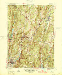
Editions of this 1946 Ware Map
2 editions found
Other maps of this area

1887 · Brookfield
USGS Topo · 1:62,500

1887 · Palmer
USGS Topo · 1:62,500

1887 · Belchertown
USGS Topo · 1:62,500

1887 · Barre
USGS Topo · 1:62,500

1889 · Palmer
USGS Topo · 1:62,500

1889 · Barre
USGS Topo · 1:62,500

1890 · Belchertown
USGS Topo · 1:62,500

1890 · Brookfield
USGS Topo · 1:62,500

1893 · Palmer
USGS Topo · 1:62,500

1893 · Belchertown
USGS Topo · 1:62,500