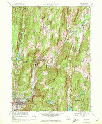
1969 Map of Ware
USGS Topo · Published 1972About this map
Hardwick and the industrial village of Gilbertville anchor this late 1960s study of the Ware River valley. The landscape is defined by its deep-rooted rail infrastructure, featuring the convergence of the Penn Central, Boston and Maine, and Central Vermont railroads that once powered the local economy. In Ware, the southern portion of the map shows a concentrated urban grid alongside the Aspen Grove Cemetery and Mount Carmel Cem.
Find a feature on this map
68 named features on this map. Tap any name to fly to it.
Don’t see what you’re looking for? This feature index may not catch every label — zoom into the map to look around manually.
Map Details
Editions of this 1969 Ware Map
2 editions found
Other maps of this area

1887 · Brookfield
USGS Topo · 1:62,500

1887 · Palmer
USGS Topo · 1:62,500

1887 · Belchertown
USGS Topo · 1:62,500

1887 · Barre
USGS Topo · 1:62,500

1889 · Palmer
USGS Topo · 1:62,500

1889 · Barre
USGS Topo · 1:62,500

1890 · Belchertown
USGS Topo · 1:62,500

1890 · Brookfield
USGS Topo · 1:62,500

1893 · Palmer
USGS Topo · 1:62,500

1893 · Belchertown
USGS Topo · 1:62,500