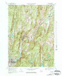
1969 Map of Ware
USGS Topo · Published 1978About this map
The Ware River corridor serves as the primary industrial and transport artery through this central Massachusetts landscape, connecting the mill settlements of Gilbertville and Wheelwright. These villages, along with Furnace, are situated at points where the river's descent provided power, later reinforced by the dual rail lines of the Boston and Maine and Penn Central railroads. The map reveals a transition from industrial valley floors to higher agricultural and institutional grounds, notably at Eagle Hill Sch and the Pioneer Valley Academy in New Braintree.
Find a feature on this map
48 named features on this map. Tap any name to fly to it.
Don’t see what you’re looking for? This feature index may not catch every label — zoom into the map to look around manually.
Map Details
Editions of this 1969 Ware Map
2 editions found
Other maps of this area

1887 · Brookfield
USGS Topo · 1:62,500

1887 · Palmer
USGS Topo · 1:62,500

1887 · Belchertown
USGS Topo · 1:62,500

1887 · Barre
USGS Topo · 1:62,500

1889 · Palmer
USGS Topo · 1:62,500

1889 · Barre
USGS Topo · 1:62,500

1890 · Belchertown
USGS Topo · 1:62,500

1890 · Brookfield
USGS Topo · 1:62,500

1893 · Palmer
USGS Topo · 1:62,500

1893 · Belchertown
USGS Topo · 1:62,500