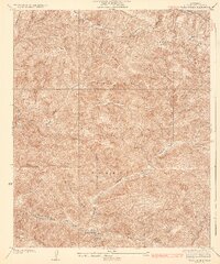
1936 Map of Warm Spring
USGS Topo · Published 1936About this map
Angeles National Forest dominates this mid-1930s landscape, where a dense network of canyons and firebreaks reveals the early 20th-century approach to mountain management. Topography by W. R. Chenoweth highlights the steep drainage systems of Elizabeth Lake Canyon and Warm Spring Canyon, which carve through the high terrain of the Sawtooth Mountains. The presence of the San Andreas Rift Zone along the northern edge underscores the geological instability of the region, a factor that influenced early road placement and water resource management.
Find a feature on this map
23 named features on this map. Tap any name to fly to it.
Don’t see what you’re looking for? This feature index may not catch every label — zoom into the map to look around manually.
Map Details
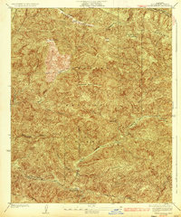
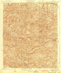
Editions of this 1936 Warm Spring Map
3 editions found
Other maps of this area

1903 · Tejon
USGS Topo · 1:125,000

1915 · Elizabeth Lake
USGS Topo · 1:125,000

1917 · Elizabeth Lake
USGS Topo · 1:125,000

1931 · Red Mountain
USGS Topo · 1:24,000

1931 · Warm Spring
USGS Topo · 1:24,000

1931 · Redrock Mtn
USGS Topo · 1:24,000
1932 · La Brun
USGS Topo · 1:24,000

1932 · Hughes Lake
USGS Topo · 1:24,000

1932 · Fairmont
USGS Topo · 1:24,000

1932 · Neenach
USGS Topo · 1:24,000