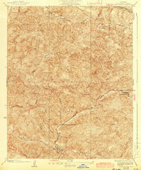
1936 Map of Warm Spring
USGS Topo · Published 1943About this map
Sawmill Mountain and the Sawtooth Mountains dominate this high-elevation landscape within the Angeles National Forest, as surveyed during the 1930s and early 1940s. The terrain is defined by a series of steep drainages, including Fish Canyon and Elizabeth Lake Canyon, which serve as the primary corridors for travel and temporary settlement. Of particular geological interest is the San Andreas Rift cutting through Pine Canyon at the northern edge of the sheet, illustrating the active tectonic nature of this region. Human activity is concentrated along the canyon bottoms and ridgelines, marked by CCC-era improvements like the Elizabeth Lake Canyon Camp and Cottonwood Camp. The reliance on fire prevention infrastructure is evident in the extensive network of firebreaks, such as the Sawmill Firebreak, and a lone Lookout on a high peak, providing a detailed view of forest management before modern aerial suppression techniques became standard.
Find a feature on this map
28 named features on this map. Tap any name to fly to it.
Don’t see what you’re looking for? This feature index may not catch every label — zoom into the map to look around manually.
Map Details
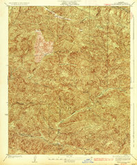
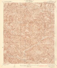
Editions of this 1936 Warm Spring Map
3 editions found
Other maps of this area

1903 · Tejon
USGS Topo · 1:125,000

1915 · Elizabeth Lake
USGS Topo · 1:125,000

1917 · Elizabeth Lake
USGS Topo · 1:125,000

1931 · Red Mountain
USGS Topo · 1:24,000

1931 · Warm Spring
USGS Topo · 1:24,000

1931 · Redrock Mtn
USGS Topo · 1:24,000

1932 · La Brun
USGS Topo · 1:24,000

1932 · Hughes Lake
USGS Topo · 1:24,000

1932 · Fairmont
USGS Topo · 1:24,000

1932 · Neenach
USGS Topo · 1:24,000