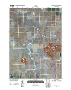
2011 Map of Warm Springs Butte
USGS Topo · Published 2011About this map
Harney Valley is defined by a complex network of seasonal watercourses and shallow basins that illustrate the hydraulic character of this high desert region in 2011. The presence of Malheur Lake and its associated sloughs, including Ninemile Slough and Malheur Slough, shows the intricate drainage patterns that support local agriculture and habitat. This survey captures a moment when the shoreline of these ephemeral water bodies dictated the placement of local infrastructure, such as Lane 16 and S Newton Rd. Notable landmarks like Warm Springs Butte and Saddle Butte rise above the flat basin, serving as natural orientation points. For those researching family history or early land use, the Saddle Butte Cemetery provides a specific genealogical anchor within this otherwise expansive agricultural landscape.
Find a feature on this map
14 named features on this map. Tap any name to fly to it.
Don’t see what you’re looking for? This feature index may not catch every label — zoom into the map to look around manually.
Map Details
Editions of this 2011 Warm Springs Butte Map
This is the sole edition of this map. No revisions or reprints were ever made.
Other maps of this area

1955 · Burns
USGS Topo · 1:250,000

1958 · Burns
USGS Topo · 1:250,000

1959 · Burns
USGS Topo · 1:250,000

1959 · Harney
USGS Topo · 1:62,500

1959 · Lawen
USGS Topo · 1:62,500

1960 · Crane
USGS Topo · 1:62,500

1973 · Mahon Creek
USGS Topo · 1:24,000

1973 · Carson Point
USGS Topo · 1:24,000

1978 · Malheur Lake
USGS Topo · 1:100,000

1978 · Stinkingwater Mountains
USGS Topo · 1:100,000