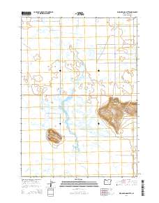
2014 Map of Warm Springs Butte
USGS Topo · Published 2014About this map
Malheur Slough and a complex network of waterways dominate this portion of the Harney Basin, where the high desert meets a seasonal wetland landscape. The small settlement of Crane sits at the foot of Warm Springs Butte, serving as a focal point for the surrounding ranching community. The drainage patterns of Ninemile Slough and Hot Springs Slough illustrate the subtle topography that directs water toward the northern reaches of Malheur Lake. Further south, Saddle Butte rises as a distinct volcanic landmark above the basin floor, accompanied by the Saddle Butte Cem. The road network, including Or-78 and Saddle Butte Rd, connects isolated homesteads across this expansive terrain, where geothermal activity is evidenced by the presence of local Hot Springs.
Find a feature on this map
20 named features on this map. Tap any name to fly to it.
Don’t see what you’re looking for? This feature index may not catch every label — zoom into the map to look around manually.
Map Details
Editions of this 2014 Warm Springs Butte Map
This is the sole edition of this map. No revisions or reprints were ever made.
Other maps of this area

1955 · Burns
USGS Topo · 1:250,000

1958 · Burns
USGS Topo · 1:250,000

1959 · Burns
USGS Topo · 1:250,000

1959 · Harney
USGS Topo · 1:62,500

1959 · Lawen
USGS Topo · 1:62,500

1960 · Crane
USGS Topo · 1:62,500

1973 · Mahon Creek
USGS Topo · 1:24,000

1973 · Carson Point
USGS Topo · 1:24,000

1978 · Malheur Lake
USGS Topo · 1:100,000

1978 · Stinkingwater Mountains
USGS Topo · 1:100,000