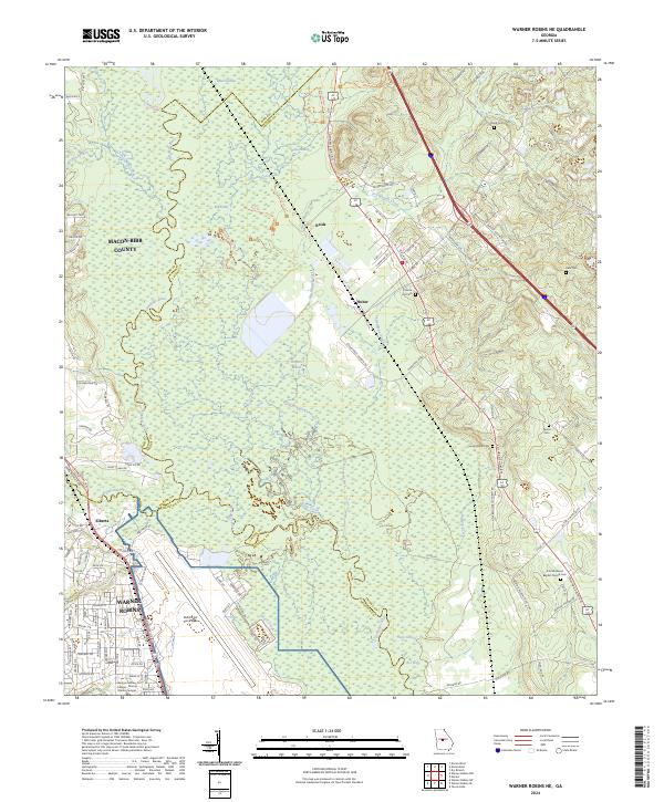
2024 Map of Warner Robins NE
USGS Topo · Published 2024About this map
Robins Air Force Base dominates the southwestern corner of this landscape where the borders of Bibb, Houston, and Twiggs counties converge. The military installation and the adjacent city of Warner Robins stand in stark contrast to the sprawling wetlands of the Bond Swamp National Wildlife Refuge to the north. These protected river bottomlands are defined by the meandering course of the Ocmulgee River and its intricate network of tributaries and backwaters, including Eel Hole, Jack Hole, and Big Eddy.
Find a feature on this map
127 named features on this map. Tap any name to fly to it.
Don’t see what you’re looking for? This feature index may not catch every label — zoom into the map to look around manually.
Map Details
Editions of this 2024 Warner Robins NE Map
This is the sole edition of this map. No revisions or reprints were ever made.
Other maps of this area

1956 · Gordon
USGS Topo · 1:62,500

1956 · Warner Robins
USGS Topo · 1:62,500

1956 · Jeffersonville
USGS Topo · 1:62,500

1956 · Macon West
USGS Topo · 1:24,000

1956 · Macon East
USGS Topo · 1:24,000

1956 · Macon
USGS Topo · 1:62,500

1957 · Macon
USGS Topo · 1:250,000

1958 · Macon
USGS Topo · 1:250,000

1964 · Macon
USGS Topo · 1:250,000

1973 · Warner Robins NE
USGS Topo · 1:24,000