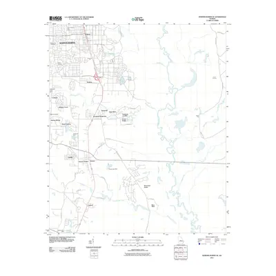
2011 Map of Warner Robins SE
USGS Topo · Published 2011About this map
Warner Robins and its southeastern suburban sprawl dominate the western half of this landscape, showing a transition from the established city center toward the wetlands of the Ocmulgee River. The urban footprint is marked by numerous residential developments like Windsor Forest, Woodfield Subdivision, and Hickory Woods, alongside the Warner Robins Post Office. Genealogical interest is found in the scattered burial grounds, including Magnolia Park Cemetery, Mount Pleasant Cemetery, and the more isolated Smith Cemetery to the east. East of the developed areas, the terrain shifts dramatically into the river's drainage basin, where Sandy Run Creek and Horse Creek meander toward the main channel. Smaller settlements such as Bonaire, Wallston, and Lashley serve as local landmarks amidst a network of ponds and dams, including Perdue Lake Dam and Williams Dam, which regulate the local hydrology.
Find a feature on this map
63 named features on this map. Tap any name to fly to it.
Don’t see what you’re looking for? This feature index may not catch every label — zoom into the map to look around manually.
Map Details
Editions of this 2011 Warner Robins SE Map
This is the sole edition of this map. No revisions or reprints were ever made.
Other maps of this area

1956 · Cochran
USGS Topo · 1:62,500

1956 · Perry
USGS Topo · 1:62,500

1956 · Warner Robins
USGS Topo · 1:62,500

1956 · Jeffersonville
USGS Topo · 1:62,500

1957 · Macon
USGS Topo · 1:250,000

1958 · Macon
USGS Topo · 1:250,000

1964 · Macon
USGS Topo · 1:250,000

1973 · Hayneville
USGS Topo · 1:24,000

1973 · Warner Robins NE
USGS Topo · 1:24,000

1973 · Tarversville
USGS Topo · 1:24,000