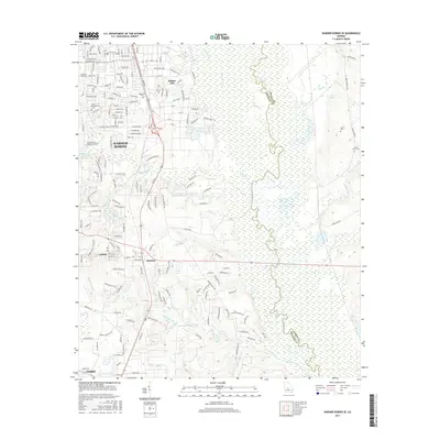
2017 Map of Warner Robins SE
USGS Topo · Published 2017About this map
Robins AFB dominates the northern section of this landscape, marking a significant military footprint east of the growing residential corridors of Warner Robins. The terrain transitions from the developed street grids of neighborhoods like those near Magnolia Park Cem to the expansive wetlands and riverine systems of the Ocmulgee River valley. This waterway forms a natural boundary on the eastern edge, bordered by a network of creeks including Horse Cr and Sandy Run Cr. To the south, the settlements of Bonaire and Lashley sit along the primary transit lines, while the city of Perry occupies the southwestern corner. The map documents a blend of suburban expansion and persistent rural features, evidenced by family and community landmarks such as Smith Cem and Laurel Grove Cem, alongside newer developments like Carol MHP and Perdue Lake.
Find a feature on this map
149 named features on this map. Tap any name to fly to it.
Don’t see what you’re looking for? This feature index may not catch every label — zoom into the map to look around manually.
Map Details
Editions of this 2017 Warner Robins SE Map
This is the sole edition of this map. No revisions or reprints were ever made.
Other maps of this area

1956 · Cochran
USGS Topo · 1:62,500

1956 · Perry
USGS Topo · 1:62,500

1956 · Warner Robins
USGS Topo · 1:62,500

1956 · Jeffersonville
USGS Topo · 1:62,500

1957 · Macon
USGS Topo · 1:250,000

1958 · Macon
USGS Topo · 1:250,000

1964 · Macon
USGS Topo · 1:250,000

1973 · Hayneville
USGS Topo · 1:24,000

1973 · Warner Robins NE
USGS Topo · 1:24,000

1973 · Tarversville
USGS Topo · 1:24,000