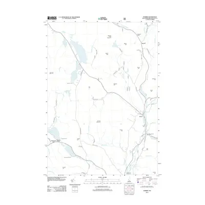
2012 Map of Warren
USGS Topo · Published 2012About this map
The Baker River valley and its surrounding peaks define this portion of Grafton County, where the settlement of Warren and the community of Glencliff are anchored by the local transport and water networks. The landscape is marked by a series of high-altitude bodies of water, including Lake Tarleton, Lake Katherine, and Lake Armington in the northwest, which transition into the drainage of Eastman Brook. A notable cluster of summer camps and recreation sites, such as Moosilauke Camp, Merriwood Camp, and Pemigewasset Camp, suggests the area's long-standing role as a mountain retreat near Gilmans Corner.
Find a feature on this map
69 named features on this map. Tap any name to fly to it.
Don’t see what you’re looking for? This feature index may not catch every label — zoom into the map to look around manually.
Map Details
Editions of this 2012 Warren Map
This is the sole edition of this map. No revisions or reprints were ever made.
Other maps of this area

1928 · Rumney
USGS Topo · 1:62,500

1929 · Moosilauke
USGS Topo · 1:62,500

1931 · Mt. Cube
USGS Topo · 1:62,500

1931 · Woodsville
USGS Topo · 1:48,000

1932 · Rumney
USGS Topo · 1:62,500

1932 · Moosilauke
USGS Topo · 1:62,500

1933 · Mt. Cube
USGS Topo · 1:62,500

1935 · Woodsville
USGS Topo · 1:62,500

1941 · Woodsville
USGS Topo · 1:62,500

1949 · Portland
USGS Topo · 1:250,000