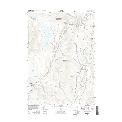
2015 Map of Warren
USGS Topo · Published 2015About this map
White Mountain National Forest dominates the high ground of this landscape, where the long-distance Appalachian National Scenic Trail traverses a series of dramatic summits and notches. The corridor through Oliverian Notch provides a natural passage for Moosilauke Rd and the settlement at Glencliff, while the village of Warren sits to the south along the Baker River. Historically significant industry is centered near Ore Hill, where Ore Hill Rd marks a legacy of resource extraction in the mountains. Water features are a primary characteristic of the area, ranging from the high-elevation Wachipauka Pond near Webster Slide Mtn to the larger recreation waters of Lake Tarleton and Lake Armington. Local travel and geography are defined by family-named landmarks like Marston Hill and Swain Hill, alongside rural hubs such as Gilmans Corner.
Find a feature on this map
78 named features on this map. Tap any name to fly to it.
Don’t see what you’re looking for? This feature index may not catch every label — zoom into the map to look around manually.
Map Details
Editions of this 2015 Warren Map
This is the sole edition of this map. No revisions or reprints were ever made.
Other maps of this area

1928 · Rumney
USGS Topo · 1:62,500

1929 · Moosilauke
USGS Topo · 1:62,500

1931 · Mt. Cube
USGS Topo · 1:62,500

1931 · Woodsville
USGS Topo · 1:48,000

1932 · Rumney
USGS Topo · 1:62,500

1932 · Moosilauke
USGS Topo · 1:62,500

1933 · Mt. Cube
USGS Topo · 1:62,500

1935 · Woodsville
USGS Topo · 1:62,500

1941 · Woodsville
USGS Topo · 1:62,500

1949 · Portland
USGS Topo · 1:250,000