1946 Map of Warren
USGS Topo · Published 1946About this map
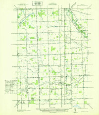
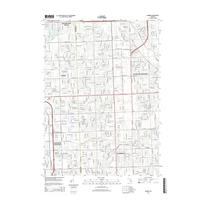
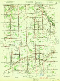
The Oakland Co Macomb Co boundary line divides a landscape in mid-century transition, where the agricultural past meets emerging suburban growth. The village of Warren serves as a central hub, anchored by its proximity to the Michigan Central railroad and a network of named local schools like the Wm Murthum Sch and Warren East Sch. Small settlements such as Big Beaver and Utica punctuate the grid, while the presence of Wings Airport and several recreational sites including the Happy Hour Golf Club signal the area's diversifying land use. Natural drainage remains central to the terrain, with Bear Creek and Red Run winding through the townships. This survey captures the region just before the post-war housing boom fundamentally reshaped the Macomb and Oakland county corridors.
Find a feature on this map
61 named features on this map. Tap any name to fly to it.
Don’t see what you’re looking for? This feature index may not catch every label — zoom into the map to look around manually.
Map Details
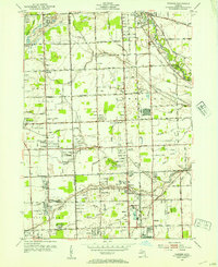
Editions of this 1946 Warren Map
This is the sole edition of this map. No revisions or reprints were ever made.
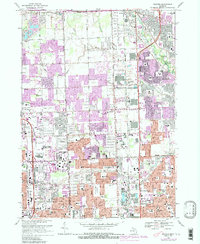
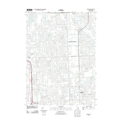
Historical Maps of Sterling Heights Through Time
9 maps found