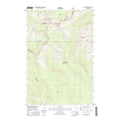
2017 Map of Warren Peak
USGS Topo · Published 2017About this map
Warren Peak stands as a central landmark within the Anaconda Range, marking a high point along the Continental Divide as it separates the Deer Lodge National Forest from the Beaverhead National Forest. This high-altitude landscape is defined by its numerous glacial basins and alpine lakes, including Upper Carpp Lake, Rainbow Lake, and Edith Lake. To the south, the terrain descends toward Pintler Meadows, where the drainages of Pintler Cr and Beaver Cr begin their course.
Find a feature on this map
39 named features on this map. Tap any name to fly to it.
Don’t see what you’re looking for? This feature index may not catch every label — zoom into the map to look around manually.
Map Details
Editions of this 2017 Warren Peak Map
This is the sole edition of this map. No revisions or reprints were ever made.
Other maps of this area

1908 · Philipsburg
USGS Topo · 1:125,000

1909 · Sapphire
USGS Topo · 1:125,000

1947 · Butte
USGS Topo · 1:250,000

1955 · Dillon
USGS Topo · 1:250,000

1957 · Dillon
USGS Topo · 1:250,000

1958 · Butte
USGS Topo · 1:250,000

1958 · Dillon
USGS Topo · 1:250,000

1960 · Butte
USGS Topo · 1:250,000

1962 · Butte
USGS Topo · 1:250,000

1962 · Dillon
USGS Topo · 1:250,000