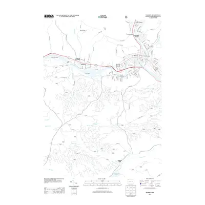
2013 Map of Warren
USGS Topo · Published 2013About this map
The Allegheny River serves as the central artery for this region of Pennsylvania, where the city of Warren and its surrounding communities have established a dense residential and commercial footprint. The river's path is punctuated by significant islands like Mead Island and Grass Flat Island, which create narrow channels near Starbrick and Jackson Crossing. To the north, the junction of Conewango Cr and the main river basin anchors the development of East Warren and Hazeltine Corners.
Find a feature on this map
120 named features on this map. Tap any name to fly to it.
Don’t see what you’re looking for? This feature index may not catch every label — zoom into the map to look around manually.
Map Details
Editions of this 2013 Warren Map
This is the sole edition of this map. No revisions or reprints were ever made.
Other maps of this area

1906 · Warren
USGS Topo · 1:62,500

1907 · Warren
USGS Topo · 1:62,500

1908 · Warren
USGS Topo · 1:62,500

1926 · Youngsville
USGS Topo · 1:62,500

1927 · Tidioute
USGS Topo · 1:48,000

1929 · Youngsville
USGS Topo · 1:62,500

1930 · Tidioute
USGS Topo · 1:62,500

1935 · Sheffield
USGS Topo · 1:48,000

1941 · Sheffield
USGS Topo · 1:62,500

1943 · Youngsville
USGS Topo · 1:62,500