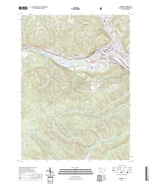
2023 Map of Warren
USGS Topo · Published 2023About this map
The Allegheny River carves a central path through this survey, shaping the development of Warren and surrounding hamlets. This landscape is a junction of river-valley industry and the forested heights of the Allegheny National Forest. The map documents the dense urban core of the county seat, where the Warren County Courthouse stands near the confluence with Conewango Creek. Beyond the city center, the terrain rises sharply toward Yankee Bush Hill, while the river contains large features like Mead Island and Leek Island.
Find a feature on this map
126 named features on this map. Tap any name to fly to it.
Don’t see what you’re looking for? This feature index may not catch every label — zoom into the map to look around manually.
Map Details
Editions of this 2023 Warren Map
This is the sole edition of this map. No revisions or reprints were ever made.
Other maps of this area

1906 · Warren
USGS Topo · 1:62,500

1907 · Warren
USGS Topo · 1:62,500

1908 · Warren
USGS Topo · 1:62,500

1926 · Youngsville
USGS Topo · 1:62,500

1927 · Tidioute
USGS Topo · 1:48,000

1929 · Youngsville
USGS Topo · 1:62,500

1930 · Tidioute
USGS Topo · 1:62,500

1935 · Sheffield
USGS Topo · 1:48,000

1941 · Sheffield
USGS Topo · 1:62,500

1943 · Youngsville
USGS Topo · 1:62,500