
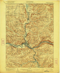
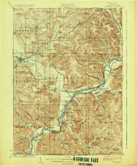
1908 Map of Warren
USGS Topo · Published 1908About this map
Warren serves as the central hub of this 1908 topographical study, situated at the confluence where Conewango Creek meets the Allegheny River. The landscape reveals a complex network of industrial and social infrastructure at the start of the century, including the State Insane Asylum and the nearby Farm Colony north of the city. Transportation patterns are defined by the Dunkirk Allegheny Valley and Pittsburgh RR and the Electric RR, which parallel the major waterways through the deep valleys of the Pine Grove and Conewango districts. The map documents numerous rural educational and community landmarks, such as Knupp School, Sill School, and Oakland Cem, alongside family-named corners like Mahan Corners and Dunham Corners. These details illustrate a transitional era in Northwest Pennsylvania where established river settlements were increasingly integrated by rail and early roads like the Tidioute Road.
Find a feature on this map
103 named features on this map. Tap any name to fly to it.
Don’t see what you’re looking for? This feature index may not catch every label — zoom into the map to look around manually.
Map Details
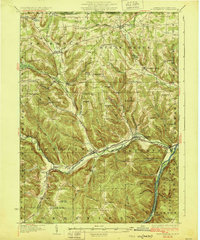
Editions of this 1908 Warren Map
3 editions found

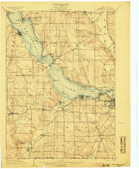
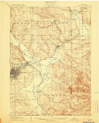
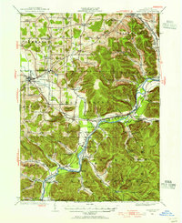
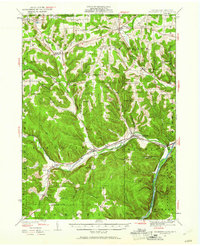
Other maps of this area
1904 · Chautaqua
USGS Topo · 1:62,500
1905 · Jamestown
USGS Topo · 1:62,500

1906 · Warren
USGS Topo · 1:62,500

1907 · Warren
USGS Topo · 1:62,500
1922 · Randolph
USGS Topo · 1:62,500
1923 · Randolph
USGS Topo · 1:62,500
1926 · Youngsville
USGS Topo · 1:62,500

1927 · Tidioute
USGS Topo · 1:48,000
1929 · Youngsville
USGS Topo · 1:62,500

1930 · Tidioute
USGS Topo · 1:62,500