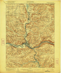
1908 Map of Warren
USGS Topo · Published 1921About this map
Warren serves as the industrial and civic anchor of this northern Pennsylvania landscape, situated at the significant confluence where Conewango Creek meets the Allegheny River. The early 20th-century development of the region is characterized by a dense network of transportation and institutional infrastructure. To the north, the State Insane Asylum and the Farm Colony stand as major landmarks, while the Jamestown and Warren Electric line reflects the era's growing interurban connectivity.
Find a feature on this map
102 named features on this map. Tap any name to fly to it.
Don’t see what you’re looking for? This feature index may not catch every label — zoom into the map to look around manually.
Map Details
Editions of this 1908 Warren Map
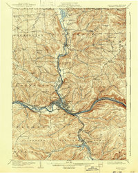
3 editions found
Other maps of this area

1904 · Chautaqua
USGS Topo · 1:62,500

1905 · Jamestown
USGS Topo · 1:62,500

1906 · Warren
USGS Topo · 1:62,500

1907 · Warren
USGS Topo · 1:62,500

1908 · Warren
USGS Topo · 1:62,500

1922 · Randolph
USGS Topo · 1:62,500

1923 · Randolph
USGS Topo · 1:62,500

1926 · Youngsville
USGS Topo · 1:62,500

1927 · Tidioute
USGS Topo · 1:48,000

1929 · Youngsville
USGS Topo · 1:62,500