
1971 Map of Warren
USGS Topo · Published 1971About this map
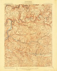
The Allegheny National Forest dominates the heart of this North Central Pennsylvania landscape, a region defined by the deeply dissected Allegheny Plateau and the winding course of the Allegheny River. Revised in 1969, this survey captures the industrial and natural geography of the region just as I-80 was reshaping connectivity across the southern tier. The map highlights the vast timber and wilderness preserves of the Susquehannock State Forest and Elk State Forest, punctuated by established industrial hubs like Warren, Bradford, and Oil City.
Find a feature on this map
79 named features on this map. Tap any name to fly to it.
Don’t see what you’re looking for? This feature index may not catch every label — zoom into the map to look around manually.
Map Details
Editions of this 1971 Warren Map
This is the sole edition of this map. No revisions or reprints were ever made.
Other maps of this area
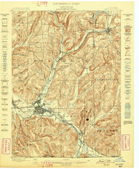
1898 · Olean
USGS Topo · 1:62,500
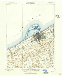
1899 · Erie
USGS Topo · 1:62,500
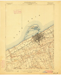
1900 · Erie
USGS Topo · 1:62,500
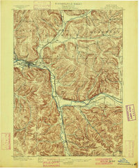
1900 · Salamanca
USGS Topo · 1:62,500

1900 · Kittanning
USGS Topo · 1:62,500

1901 · Rural Valley
USGS Topo · 1:62,500

1902 · Kittanning
USGS Topo · 1:62,500

1903 · Curwensville
USGS Topo · 1:62,500
1903 · Rural Valley
USGS Topo · 1:62,500

1903 · Houtzdale
USGS Topo · 1:62,500