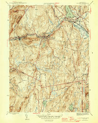
1946 Map of Warren
USGS Topo · Published 1946About this map
The Quaboag River corridor serves as the industrial and transit spine of this mid-1940s landscape, where the Boston and Albany RR follows the water through the valley towns of West Warren, Warren, and West Brookfield. This survey, completed during the mid-war years of 1943-1944, reveals a region defined by high ground and narrow valleys, with settlements clustered near the rail lines while the surrounding hills remain dotted with family-named landmarks like Foster Hill and Marks Mountain. Genealogists may find interest in the documented locations of St Marys Cem and Pine Grove Cem, as well as the numerous brooks such as Blodgett Mill Brook and Penny Brook that once powered local industry. The presence of an Airway Beacon south of Marks Mountain reflects the era's evolving infrastructure, standing in contrast to older topographic features like Steerage Rock Mountain and Coy's Hill.
Find a feature on this map
42 named features on this map. Tap any name to fly to it.
Don’t see what you’re looking for? This feature index may not catch every label — zoom into the map to look around manually.
Map Details
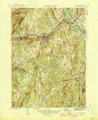
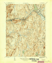
Editions of this 1946 Warren Map
3 editions found
Other maps of this area

1887 · Brookfield
USGS Topo · 1:62,500

1887 · Palmer
USGS Topo · 1:62,500

1887 · Belchertown
USGS Topo · 1:62,500

1887 · Barre
USGS Topo · 1:62,500

1889 · Palmer
USGS Topo · 1:62,500

1889 · Barre
USGS Topo · 1:62,500

1890 · Belchertown
USGS Topo · 1:62,500

1890 · Brookfield
USGS Topo · 1:62,500

1893 · Palmer
USGS Topo · 1:62,500

1893 · Belchertown
USGS Topo · 1:62,500