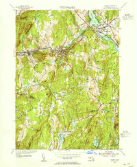
1954 Map of Warren
USGS Topo · Published 1955About this map
The Quaboag River carves a narrow valley through the hills of central Massachusetts, serving as the industrial and transportation corridor for West Warren and Warren. During this post-war era, the heavy infrastructure of the Boston and Albany and New York Central railroads parallels the river, anchoring the economy of these mill towns. Beyond the valley floor, the landscape rises steeply toward high points like Marks Mountain and Coys Hill, while the southern reaches of the map near Brimfield remain largely wooded and rural. Notable landmarks for researchers include Steerage Rock and the Airway Beacon near the Hampden and Worcester county line. Cultural and community centers are clearly marked, from the residential clusters at Foster Hill to local religious sites such as Sacred Heart and the St Marys Cem.
Find a feature on this map
43 named features on this map. Tap any name to fly to it.
Don’t see what you’re looking for? This feature index may not catch every label — zoom into the map to look around manually.
Map Details
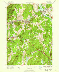
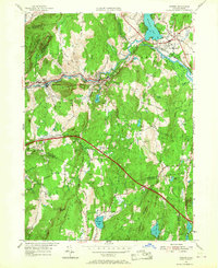
Editions of this 1954 Warren Map
3 editions found
Other maps of this area

1887 · Brookfield
USGS Topo · 1:62,500

1887 · Palmer
USGS Topo · 1:62,500

1887 · Belchertown
USGS Topo · 1:62,500

1887 · Barre
USGS Topo · 1:62,500

1889 · Palmer
USGS Topo · 1:62,500

1889 · Barre
USGS Topo · 1:62,500

1890 · Belchertown
USGS Topo · 1:62,500

1890 · Brookfield
USGS Topo · 1:62,500

1893 · Palmer
USGS Topo · 1:62,500

1893 · Belchertown
USGS Topo · 1:62,500