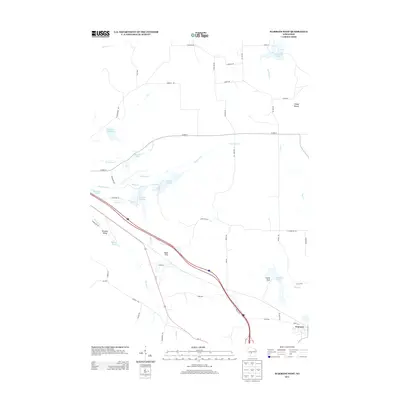
2013 Map of Warrens West
USGS Topo · Published 2013About this map
The settlement of Warrens serves as the focal point for this Monroe County survey, situated in a landscape defined by significant water management and glacial terrain. The geography is characterized by numerous flowages and small lakes, such as Pegeon Cr Flowage 3 and Harkner Flowage, which are part of a complex hydrologic network including Robinson Cr and Wyman Cr. These features, along with many smaller bodies like Ketchum Lake and Wazeda Lake, illustrate the area's transition into a more developed recreation and agricultural zone.
Find a feature on this map
55 named features on this map. Tap any name to fly to it.
Don’t see what you’re looking for? This feature index may not catch every label — zoom into the map to look around manually.
Map Details
Editions of this 2013 Warrens West Map
This is the sole edition of this map. No revisions or reprints were ever made.
Other maps of this area

1947 · Millston
USGS Topo · 1:62,500

1949 · Millston
USGS Topo · 1:62,500

1953 · Eau Claire
USGS Topo · 1:250,000

1957 · City Point
USGS Topo · 1:48,000

1958 · Eau Claire
USGS Topo · 1:250,000

1958 · Hatfield
USGS Topo · 1:48,000

1958 · Wyeville
USGS Topo · 1:48,000

1964 · Eau Claire
USGS Topo · 1:250,000
1970 · Hatfield SW
USGS Topo · 1:24,000
1970 · Wyeville
USGS Topo · 1:24,000