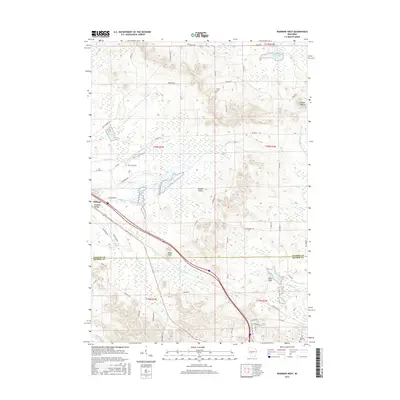
2015 Map of Warrens West
USGS Topo · Published 2015About this map
Millston and the residential Neimi Addition sit at the edge of a landscape defined by cranberry marshes and significant water management. In this part of Jackson and Monroe Counties, the terrain transitions from the low wetlands of the Pigeon Cr Flowage and Harkner Flowage to the rising elevations of the Rudd Hills and Knapp Mound. The hydrological network is dense, featuring Hawkins Lake, Wazeda Lake, and the winding E Fork Lemonweir River. Cultural sites such as Knapp Cem and Warren Mills Cem provide specific points of interest for genealogists tracking early inhabitants of the Paradise Valley area. The road network, including N Settlement Rd and Co Hwy O, links these remote settlements and agricultural valleys.
Find a feature on this map
69 named features on this map. Tap any name to fly to it.
Don’t see what you’re looking for? This feature index may not catch every label — zoom into the map to look around manually.
Map Details
Editions of this 2015 Warrens West Map
This is the sole edition of this map. No revisions or reprints were ever made.
Other maps of this area

1947 · Millston
USGS Topo · 1:62,500

1949 · Millston
USGS Topo · 1:62,500

1953 · Eau Claire
USGS Topo · 1:250,000

1957 · City Point
USGS Topo · 1:48,000

1958 · Eau Claire
USGS Topo · 1:250,000

1958 · Hatfield
USGS Topo · 1:48,000

1958 · Wyeville
USGS Topo · 1:48,000

1964 · Eau Claire
USGS Topo · 1:250,000
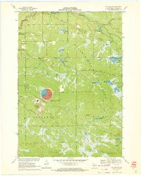
1970 · Hatfield SW
USGS Topo · 1:24,000
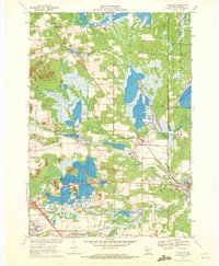
1970 · Wyeville
USGS Topo · 1:24,000