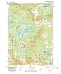
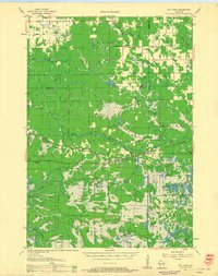
1983 Map of Warrens West
USGS Topo · Published 1984About this map
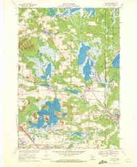
The berry-growing landscape of the central Wisconsin sand country is defined here by numerous Cranberry Bogs and specialized flowages like Pigeon Creek Flowage and Harkner Flowage. In the 1980s, the village of Warrens served as a focal point for this industry, situated along the Chicago and North Western rail line. The terrain transitions from the low wetlands of Paradise Valley and Summit Valley to the distinctive heights of Knapp Mound and the Rudd Hills. To the south, the Fort Mc Coy Military Reservation occupies a significant portion of the landscape, while the Black River State Forest preserves the northern reaches. This document captures the intersection of industrial agriculture, state conservation, and military land use during a period of established rural infrastructure, evidenced by landmarks such as St Lukes Ch, the Knapp Cem, and several Townhall locations.
Find a feature on this map
56 named features on this map. Tap any name to fly to it.
Don’t see what you’re looking for? This feature index may not catch every label — zoom into the map to look around manually.
Map Details
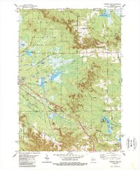
Editions of this 1983 Warrens West Map
2 editions found
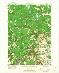
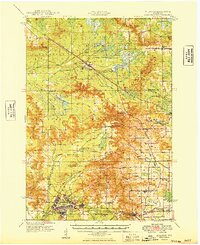
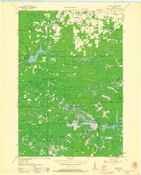
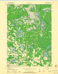
Other maps of this area
1947 · Millston
USGS Topo · 1:62,500
1949 · Millston
USGS Topo · 1:62,500

1953 · Eau Claire
USGS Topo · 1:250,000
1957 · City Point
USGS Topo · 1:48,000

1958 · Eau Claire
USGS Topo · 1:250,000
1958 · Hatfield
USGS Topo · 1:48,000
1958 · Wyeville
USGS Topo · 1:48,000

1964 · Eau Claire
USGS Topo · 1:250,000
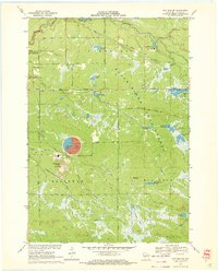
1970 · Hatfield SW
USGS Topo · 1:24,000
1970 · Wyeville
USGS Topo · 1:24,000